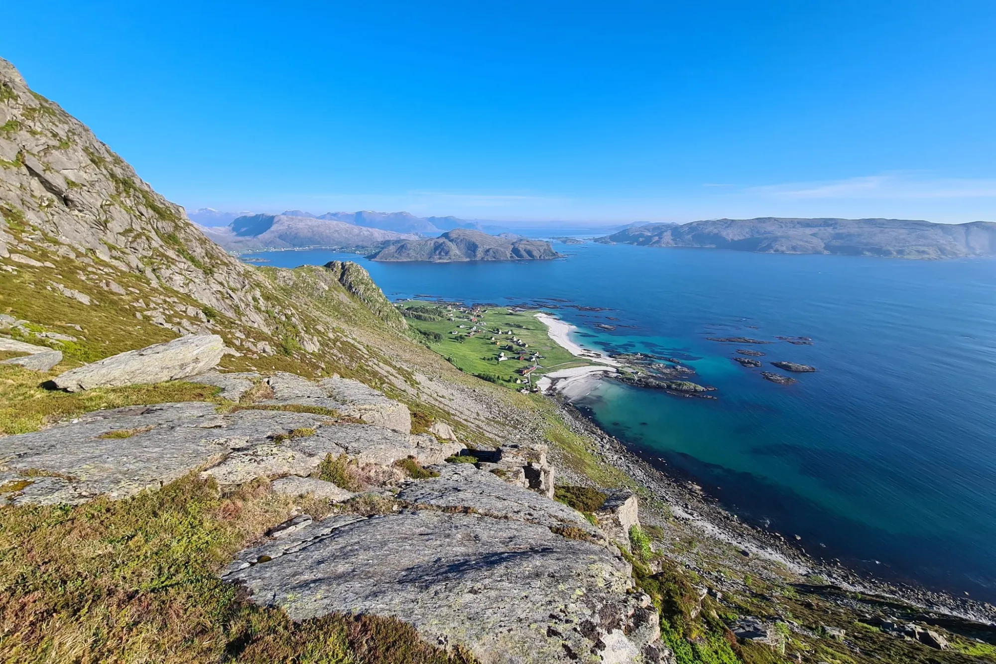
From Iglandsvik to Veten
The hike starts at the sign at Iglandsvik. Follow the blue/red-marked trail to the outfields and continue along the mountainside up to the trail intersection. Area: Fjordane Type: Hike/walk Class...
The hike starts at the sign at Iglandsvik. Follow the blue/red-marked trail to the outfields and continue along the mountainside up to the trail intersection.
Area: Fjordane
Type: Hike/walk
Classification: Medium
Length and duration: 7.5 km, 5 hours – the hike is one way, from A to B
Season: All year round
Parking: at Iglandsvik Marina
Area: Fjordane
Type: Hike/walk
Classification: Medium
Length and duration: 7.5 km, 5 hours – the hike is one way, from A to B
Season: All year round
Parking: at Iglandsvik Marina
The hike starts at the sign at Iglandsvik. Follow the blue/red-marked trail to the outfields and continue along the mountainside up to the trail intersection.
Take the good trail to the west through heather and juniper terrain. A number of times on the way, you will see views towards Grotle on the plains below. There’s a view to the south for the entire trip: the villages on the south side of Bremangerpollen, the island of Frøya, the islands further south along the coast, and of course the view
Take the good trail to the west through heather and juniper terrain. A number of times on the way, you will see views towards Grotle on the plains below. There’s a view to the south for the entire trip: the villages on the south side of Bremangerpollen, the island of Frøya, the islands further south along the coast, and of course the view
The hike starts at the sign at Iglandsvik. Follow the blue/red-marked trail to the outfields and continue along the mountainside up to the trail intersection.
Take the good trail to the west through heather and juniper terrain. A number of times on the way, you will see views towards Grotle on the plains below. There’s a view to the south for the entire trip: the villages on the south side of Bremangerpollen, the island of Frøya, the islands further south along the coast, and of course the view westwards towards the ocean.
Eventually you pass old walls that bear witness to the use of this area for cattle grazing.
After 2 km you will arrive at a gravel road that you follow for about 1.5 km, at which point you pass a farmhouse and the area of cabins in Nøre Bakken. This is the area of old summer pasture farms belonging to the farms at Indre Grotle.
Head over the hill behind the cabins and follow the blue markers, which lead you west after the hill. You can just about see Vetehytta in the distance, Bremanger municipality’s day-trip cabin. Continue walking on grassy terrain all the way to your destination. For the last 500 metres the path heads gently downhill to Veten.
It may be difficult to find drinking water after Nøre Bakken.
Info:
- Phone number (booking): +47 481 40 488
- Phone number: +47 481 40 488
- Contact person email: turistinformasjon@bremanger.kommune.no
- Visiting address: Fv571 1000 Postal Address: 6727 Bremanger
Attributes
Summer
Autumn

