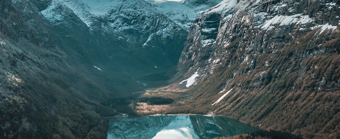
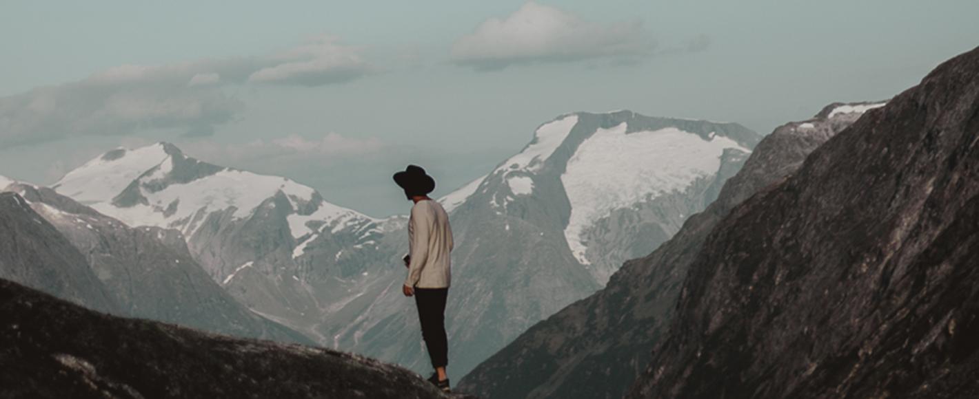
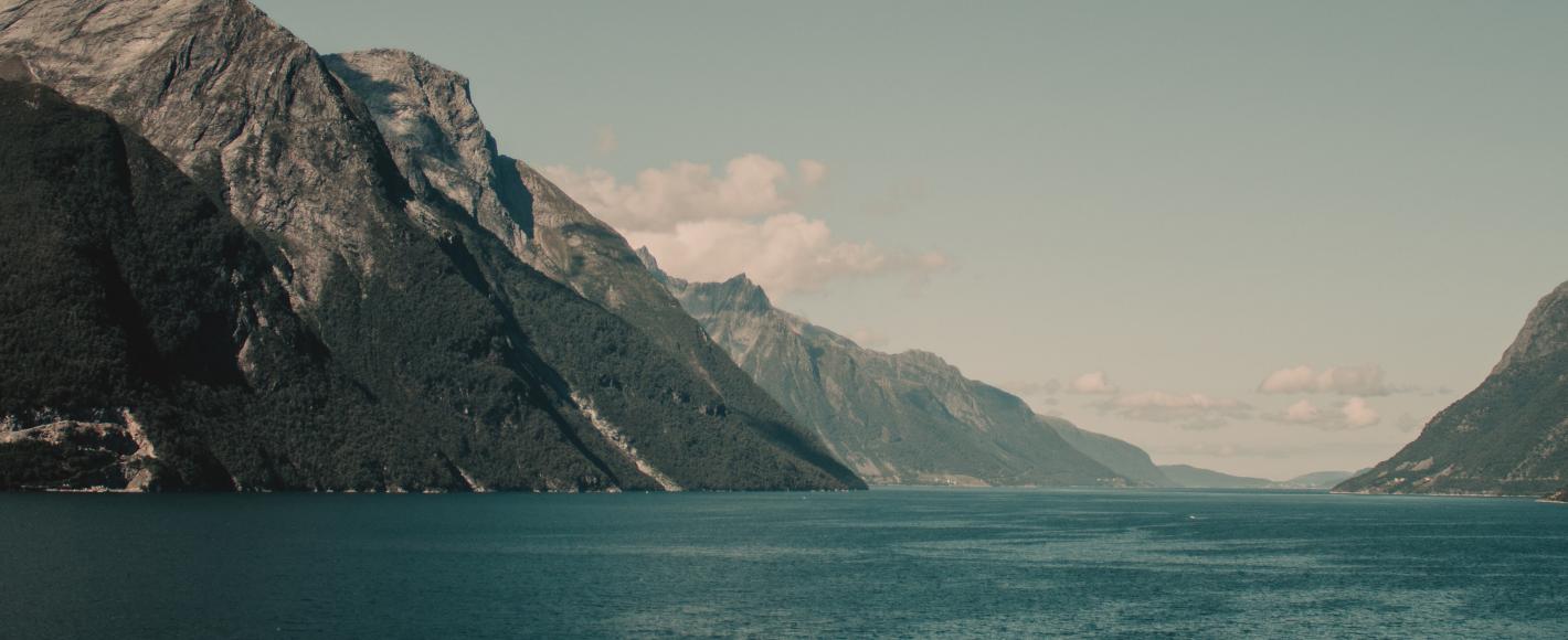
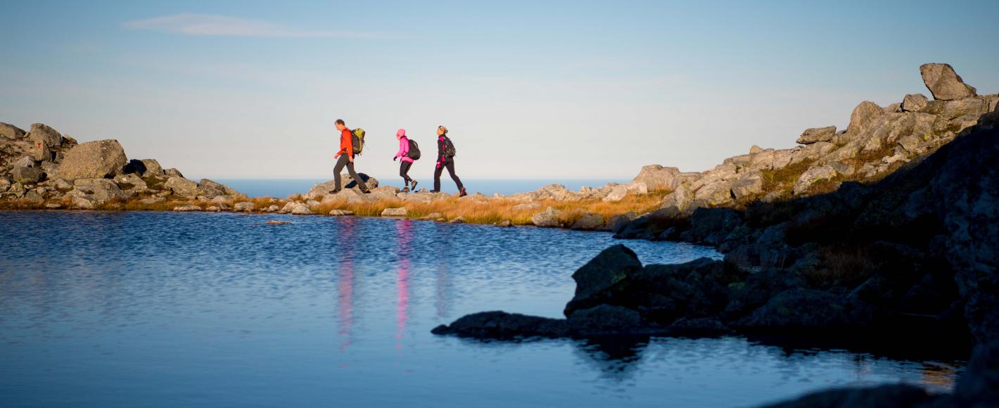
Nordfjord is made up of many narrow valleys where waterfalls cascade down steep mountainsides that invite you to climb them, to the mountainous and glacial heart of Norway with panoramic views of the spellbinding kingdom of Nordfjord. The fjord winds like a soft, blue velvet ribbon from start to end, surrounded by vibrant green communities where you will find authentic people, food and cultural experiences.
The glaciers, the fjord, the sea and mountains in Nordfjord represent some of Norway’s most beautiful scenery, and, combined with the Geirangerfjord, make for the ultimate experience.
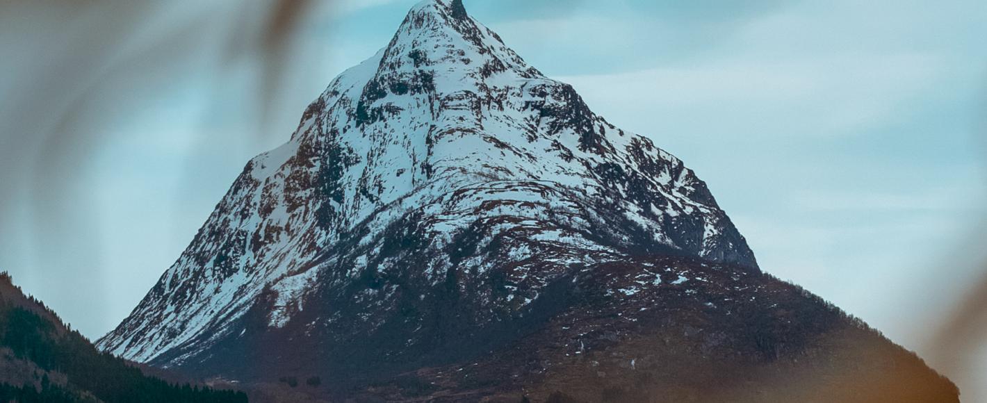
Norway’s mountain peaks represent some of our most important icons. Local food and architectural gems integrated in the magnificent landscape give your mountain hike an extra dimension.
Norwegians have been heading to the mountains to escape the hustle and bustle of everyday life for centuries. We flock to the mountains, whatever our social background or where in Norway we come from, every Easter holiday and as soon as we have, or decide to take, a long weekend.
For many, breathing in the fresh mountain air with a pair of skis strapped to your feet or mountain boots on is the ultimate holiday feeling. But our mountains also represent a great deal more – they are a symbol of the spirit of Norway. The rugged and steep landscape and the craggy peaks are a fundamental part of our national identity.
In Norway, tradition has it that you need to work up a sweat in the mountains to have earned the right to unwind and relax. In recent years, however, a touch of luxury has wound its way into the Norwegian mountain experience.
For example, many of the Norwegian Trekking Association’s cabins have been designed by eminent architects who mix modern trends with Norwegian materials.
The public right of way ensures that everyone is entitled to walk or ski etc. in uncultivated land – so no one can stop you pitching your tent (more or less) wherever you like.
THE SEASONS IN THE MOUNTAINS
Each season has its own charm and mood in the Norwegian mountains.
Many consider autumn to be the most beautiful time in the mountains, when the landscape is draped in yellow and red. Autumn is also hunting and gathering season, and most areas abound with cloudberries and blueberries.
In winter, the mountains are transformed into a snow-covered paradise, and many people are surprised by how cold and harsh the weather can be in the mountains. It can be sunny and calm at the foot of the mountain, but very different further up. It is therefore very important to wear the right clothes and bring the right equipment – and to use common sense.
Nature comes to life in spring. The rivers teem with life, and spring is often considered the best season for fishing in the many mountain lakes in the area.
In Norway, more or less everything above the treeline is deemed a mountain. The treeline demarcates high altitudes or the outer coast where very few trees grow naturally.
Summit tours
The mountains in Nordfjord tower up to heights of 2,000 metres, and there are innumerable summit tour options. Some of the area’s most spectacular mountains are found in and around Jostedalsbreen National Park. We highly recommend bringing a guide with you on a summit tour, because they know where to find the best snow, the best summits and will ensure your safety. You need experience and expertise to do a summit tour on your own.
The weather and conditions can change quickly in this part of Norway. Summit tour skis, a spade, an avalanche probe and a sender/receiver are absolute necessities, as is a map, compass and/or GPS. Knowledge of avalanches and navigation are strongly recommended, and always check the Norwegian avalanche warning service if you are going it alone.
Keep an eye on avalanche hazards. Check out varsom.no and talk to people with experience of skiing in the mountains.
Remember to abide by the Norwegian Mountain Code when you are heading for the mountains:
Even people with a lot of experience have a healthy respect for the mood in the mountains, and take precautions when they are heading for the Norwegian mountains. Read more about safety in the mountains.
• Plan your trip and inform others about the route you have selected.
• Adapt the planned routes according to ability and conditions.
• Pay attention to the weather and the avalanche warnings.
• Be prepared for bad weather and frost, even on short trips.
• Bring the necessary equipment so you can help yourself and others.
• Choose safe routes. Recognise avalanche terrain and unsafe ice.
• Use a map and compass. Always know where you are.
• Turn back in time: sensible retreat is no disgrace.
• Conserve your energy and seek shelter if necessary.
The mountains are beautiful in winter and summer alike, but hazards can quickly arise. You must therefore make sure that you have the training, experience, local knowledge and equipment you need for the tour.
Before you set off, for example, you should notify others about the route you plan to take and when you expect to get there. Check the weather forecast, not just for the area you are heading for, but also the surrounding area. And always remember that the conditions can change quickly. Plan what to do in the event of poor visibility or darkness falling, or if the weather deteriorates.
Some of the summit tours in the mountains cross glaciers, which requires knowledge and equipment. Using a guide is recommended. Watch out for falling ice at the edge of the glacier, and cracks in the ice.
Some tours are in steep terrain. Stick to the path, and preferably use trekking poles. In boulder fields, you must take care not to lose your balance and dislodge rocks that could hit you or others.
Do not attempt to cross a river unless you are certain that you can cross it. Do not try to jump in one go or jump from stone to stone in streams if there is a chance you could lose your balance.
The walking season usually lasts from May until October, but this varies depending on the location, altitude etc. The season also varies from year to year, so ask at reception or at a Tourist Information office if you are unsure of where you can go.
Check when it gets dark (depends on time of year).
The weather forecast from Yr is delivered by the Norwegian Meteorological Institute and the Norwegian Broadcasting Corporation (NRK). Download the free weather app Yr for iOS or Android.
Skåla (1,848 metres)
Skåla is considered one of Norway’s most spectacular mountain hikes, and has one of the longest downhill slopes in the country. In summer, the unique stone cabin on the summit is a hive of activity, while it is quieter in winter. You can do the summit tour all winter without a great risk of avalanche, but good visibility and judgement are a must. Follow the tractor road from the car park, which then turns into a path up Fosdalen valley. Cross the river at an altitude of around 650 metres. Then climb 400 metres in altitude up a precipice to Skålavatnet lake. Continue southeast into the corrie, and then turn left up towards the broad ridge that you follow to the summit. Descent by the same route. The new Trekking Association cabin Skålabu was completed in October 2016. Bergen and Hordaland Trekking Association (DNT), architect Eilif Bjørge and building contractor Bjørn Vike are behind the construction of the cabin. Both cabins are run by Bergen and Hordaland Trekking Association. Walking on the old stone-paved paths and stone steps, with fantastic fjord landscapes as far as the eye can see, is a cultural experience. This is a moderate/demanding 5–6 hour walk. The walk starts almost down at the ebb, at the car park approx. 1.5 km from the centre of Loen.
Kyrkjenibba (1,400 metres)
Kyrkjenibba is one of the most prominent mountains in the immediate vicinity of Stryn. Some say the view from this summit is the best in the inner reaches of Nordfjord. The most common route starts at the farm Skår/Garlid at an altitude of 300 metres. A short path up from Skår leads you onto a better path to the west of the river ravine in Skårdalen valley. It is usually a good idea to cross the river up by the old summer pasture farm (in late spring, you may have to go further up the valley). Continue up Stordalen, first along the floor of the valley, then turn up to the right to avoid avalanche-prone overhangs on the north-western slope at the bottom of the valley. Up on the shoulder, continue towards the summit well away from any overhanging snow. People who enjoy skiing steep sections can safely ski ‘the front’ on stable spring snow. Follow the RV 15 road towards Strynefjellet, turn off towards Flo approx. 10 km from the centre of Stryn, and turn left up onto and drive to the end of the first gravel road. You can also get to Kyrkjenibba from Kyrkjeeidestølen and up Fagerdalen valley.
Ceciliekruna (1,717 metres)
Ceciliekruna is in a majestic location west of Oldevatnet lake, with views towards Lodalskåpa and the Storbreen glacier. The summit is plateau-like with two identical ‘horns’ either side. There are two routes to the summit of this fantastic mountain. You can do both and thus make this summit tour a ‘circular trip’. The first route starts at Dragesetstøylen summer pasture farm and continues up through patches of scrub to Storeloga. The tour then continues along the ridge, which narrows at the top of Storlogpiken (1,554 metres). You are now up on a fantastic mountain ridge, which you follow to the cleft below the summit. Alternatively, you can head further up the valley from Hildestøylen summer pasture farm. Follow the bottom of the valley by Fessene, but then climb the precipice to the right, that takes you up to a depression beside lake 1258. Then descend 50 metres in altitude down to the glacier and follow it up to the ravine east of the summit. This alternative is recommended in spring as it is prone to avalanches and a crack sometimes forms on the surface of the glacier. You make your own way up the last section from the ravine. The tour up this mountain starts at Innvik, where you follow a relatively poor forest road (can be muddy when wet) as close as you can get to Hildestøylen summer pasture farm.
Hornindalsrokken (1,526 metres)
Spectacular summit that is easily accessible from Kjellstaddalen valley. Great views and skiing options on the descent. It is best to do the summit tour between December and May. Hornindalsrokken is on the border of three municipalities (Hornindal, Stranda and Ørsta) and between the counties of Sogn og Fjordane and Møre og Romsdal. It’s just under 10 km from Hellesylt up to the floodlit trail. You can turn off and park on a gravel road on the right of the road. You will know where to turn off by the mirror mounted on the opposite side of the road.
Midtstolhyrna (1,771 metres)
Park at the car park by the RV 15 road between the two lower Strynefjellet tunnels. The tour starts at an elevation of 600 metres. Go up Skjerdingsdalen valley, and follow it all the way up onto the ridge. Follow the slant of the ridge towards the summit. Some places are prone to avalanches, and should be avoided in poor visibility. There are several good options for skiing back down towards the car park. Watch out for them on your way up. Note that in late spring there is a river on the floor of the valley. Time: 4-5 hours.
Summit tours around Stryn Ski Centre
Stryn is often referred to as a great destination for summit tours. Steindalheisen (Stryn Vinterski) is the highest lift at the ski centre, and stops at an altitude of 1,000 metres. The lift has only been in operation for a few years, and it gives visitors to the centre access to more slopes and a lot of off-piste skiing opportunities. When you get off the ski lift, you can see the summits of the four mountains that frame the ski centre; Hestefjellet (1,303), Natakupa (1,400), Kyrkjeniba (1,400) and Gryta (1,032). They are all just a few hours’ skiing and traversing from the Steindalsheisen lift and offer first-rate off-piste skiing.
Mountain guides
A number of guide companies offer tours to summits in and outside Nordfjord. Some of them also offer mountain, snow and glacier courses.
Way-marking
Green, blue, red and black cairns make it easier to find your way in the mountains and also indicate how difficult the route is.
A new international grading system for walking trails has been introduced in Norway to make it easier to find your way. The routes are colour-coded to show the degree of difficulty.
Find your level
Many people will recognise the colour-code system from ski centre slopes, and the colours green, blue, red and black will now indicate the difficulty of walks in mountainous and forested terrain. The basis for the grading of walks is, among other things, the climb in metres (ascent) and the length of the walk.
Green – Easy
Suitable for:
• Beginners
• No special skills required
• Mainly short walks
• A special symbol marks walks that are suitable for wheelchair users/prams
Climb in metres and length:
• < 300 metres
• < 5 km
Type of path:
• Tarmac, gravel, forest roads and good paths
• Work done on paths to enable easy accessibility
• Even and firm surface without any major obstacles or having to cross streams
Gradient of slope and exposure:
• Moderate climb, no steep sections
Blue – Medium
Suitable for:
• People with some experience of walking in terrain
• Moderately fit walkers
• People with basic skills
Climb in metres and length:
• < 600 m
• < 10 km
Type of path:
• Many have slightly more demanding sections than green trails
• May be rocky, but no screes
• Some easy wading
Gradient of slope and exposure:
• Moderate climb with some steep sections
• People with a fear of heights may perceive some sections as precipitous
Red – Demanding
Suitable for:
• Experienced walkers
• People with good stamina
• Good equipment and hiking boots required
• Knowledge of using a map and compass
Climb in metres and length:
• < 1,000 m
• < 20 km (separate symbol)
Type of path:
• Path, open terrain, rocky, scree and rugged mountains
• Steep slopes and long sections of loose stone and marshland
• Wading may be necessary
Gradient of slope and exposure:
• Several types of climbs and challenges
• Several precipitous and exposed sections
• May include technical challenges with some climbing and may need the use/support of your hands
Black – Expert
Suitable for:
• Experienced hikers
• People with good stamina
• Good equipment and hiking boots required
• Knowledge of using a map and compass
Climb in metres and length:
• No max. climb or length
Type of path:
• Long walks on more demanding trails than red trails
• Demanding wading may be necessary
• Note: Some paths may be designated black because of the climb in metres or length, though they have a good, safe path all the way.
Gradient of slope and exposure:
• Summit walks with steep and difficult sections with an uneven surface
• Precipitous sections/sections with exposed climbing
• Narrow ridges, smooth rock, screes etc.
• Note: Some paths may be designated black because of the climb in metres or length, though they have a good, safe path all the way. The walk to the top of Skåla is an example in this context.
Safety and equipment in the Norwegian mountains
You have to be prepared for all types of weather in the mountains, even in summer. You must therefore bring clothes and equipment that are suitable for use in sunshine and good weather, but also for snow, rain and wind. The weather can change quickly, and it’s always colder on top of the mountain.
Plan what to pack in your rucksack and ensure that you protect yourself against the sun.
Many of the precautions you should take in summer also apply in winter, but to an even greater extent. It’s even more important when it’s cold to wear layers of wool, to avoid getting wet and that you wear a windproof jacket and trousers.
Stay warm and dry, and drink plenty. If you need help, make your way down to lower terrain where you are more likely to find houses, cabins etc. Follow streams and rivers if possible, there are often houses etc. on the banks of rivers and in valleys.
It is important in winter to stay well away from overhangs or other avalanche-prone areas, especially if you see that there has been an avalanche in the vicinity. Remember to check the avalanche warnings before you set off.
Never venture onto a glacier on your own, even if you are used to being in the mountains. If you would like to try a glacier walk, join a rope team under the supervision of a qualified glacier guide.
Bring enough food and drink, taking into consideration the length of the trip. Sturdy footwear is also very important – mountain boots are recommended.
If you are going to set off to an area of the mountains you are unfamiliar with, you should always bring a map, compass, a simple first-aid kit and a mobile phone. There is no signal in much of the mountains, but you may be in luck when you need it most, so don’t leave it at home. However, remember that a map and compass are also essential.
Stick to paths that are well marked on the map, and follow the advice on signs and information boards. Keep a look out for stone cairns if you get lost in the mountains. Cairns are often located near established paths and are erected not far from each other, so that you can see the next cairn from each one.
RELEVANT PRODUCTS


