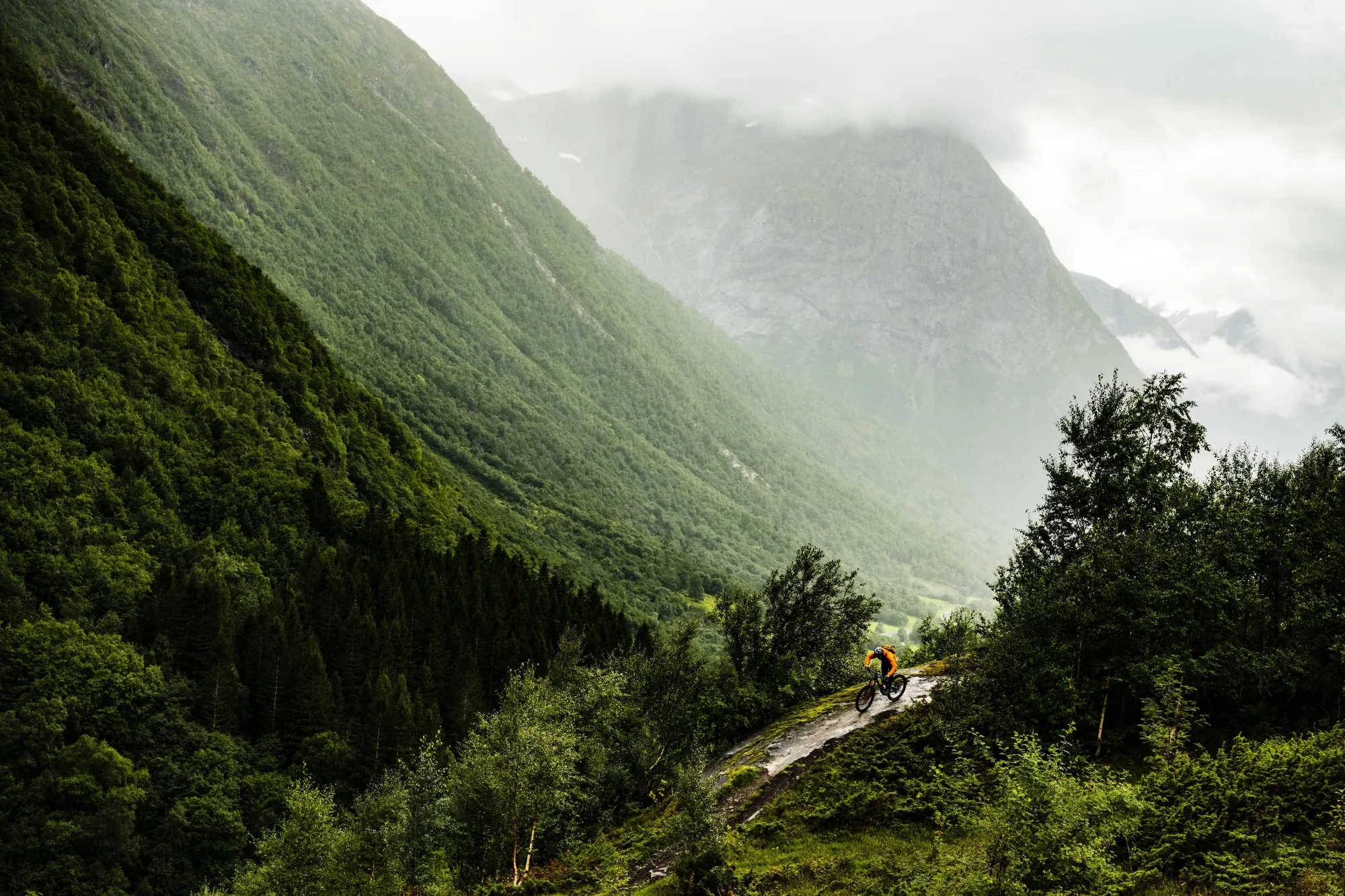
Trail cycling | Stryn
In Stryn municipality, there are several areas that are suitable for trail cycling.
Hiking trails Stryn: This is a trail and trail network between Ullsheim and Stryn. It is a hilly terrain, nice farms and views of the fjord and mountains.
Holvatnet: There is a construction road that goes all the way to the top.
Himalayan path: This is a path that goes in from Grasdalen in Oppstryn. Here you can choose to start on a blue route or take the black one which leads you onto the orange path.
Napen: This is a black path that takes you down towards Hjelledalen from the middle
Hiking trails Stryn: This is a trail and trail network between Ullsheim and Stryn. It is a hilly terrain, nice farms and views of the fjord and mountains.
Holvatnet: There is a construction road that goes all the way to the top.
Himalayan path: This is a path that goes in from Grasdalen in Oppstryn. Here you can choose to start on a blue route or take the black one which leads you onto the orange path.
Napen: This is a black path that takes you down towards Hjelledalen from the middle of the Stryn mountain.
Check out trailforks.com for maps.
Info:
- Phone number (booking): +47 57874040
- Phone number: +47 57874040
- Contact person name: Visit Nordfjord
- Contact person email: booking@nordfjord.no
- Visiting address: Perhusvegen 24 Postal Address: 6783 Stryn
Attributes
Summer
Spring
Autumn

