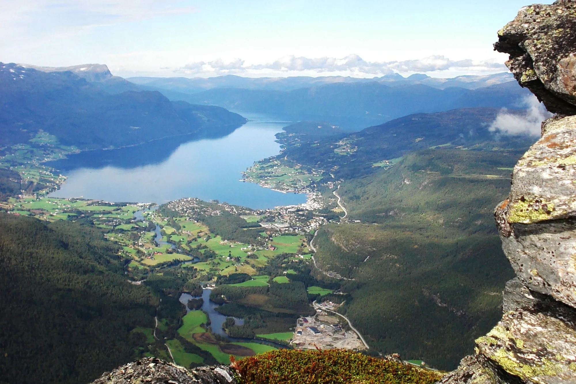
Ryssdalshornet
Ryssdalshornet is a much-used photo motif and one of the most popular hikes in Sandene.
It’s easy to find your way up to Ryssdalsstøylen pasture farm and the path on from there. A little climbing is required in some places, and there is a rope at one point to help you up a steep slope.
At the top there are great views across Gloppen to Sandane and Breim.
The route first follows the steep tractor road up to Ryssdalsstøylen. Right after the pasture farm, there are signs to the last place where you can fill bottles with drinking water.
The way to the top is signposted from the
At the top there are great views across Gloppen to Sandane and Breim.
The route first follows the steep tractor road up to Ryssdalsstøylen. Right after the pasture farm, there are signs to the last place where you can fill bottles with drinking water.
The way to the top is signposted from the
It’s easy to find your way up to Ryssdalsstøylen pasture farm and the path on from there. A little climbing is required in some places, and there is a rope at one point to help you up a steep slope.
At the top there are great views across Gloppen to Sandane and Breim.
The route first follows the steep tractor road up to Ryssdalsstøylen. Right after the pasture farm, there are signs to the last place where you can fill bottles with drinking water.
The way to the top is signposted from the summer pasture farm. The route heads northeast up a steep hillside, and a section of steel steps. The steps can be challenging for dogs.
You eventually come up onto a ridge that you follow southeast to the top.
Ryssdalshornet has two peaks, and it is the lowest (1,160 m.a.s.l.) that is waymarked. When you have made it to the top of this peak, you may also want to climb the highest peak (1,201 m.a.s.l.).
The starting elevation for the hike is about 100 m.a.s.l., so it makes for a steep but great hike.
It takes about 4 hours there and back.
Info:
- Phone number (booking): +47 57874040
- Phone number: +47 57874040
- Contact person name: Visit Nordfjord
- Contact person email: booking@nordfjord.no
- Visiting address: Ryssdalshornet Postal Address: 6823 Sandane
Attributes
Summer
Spring
Autumn

